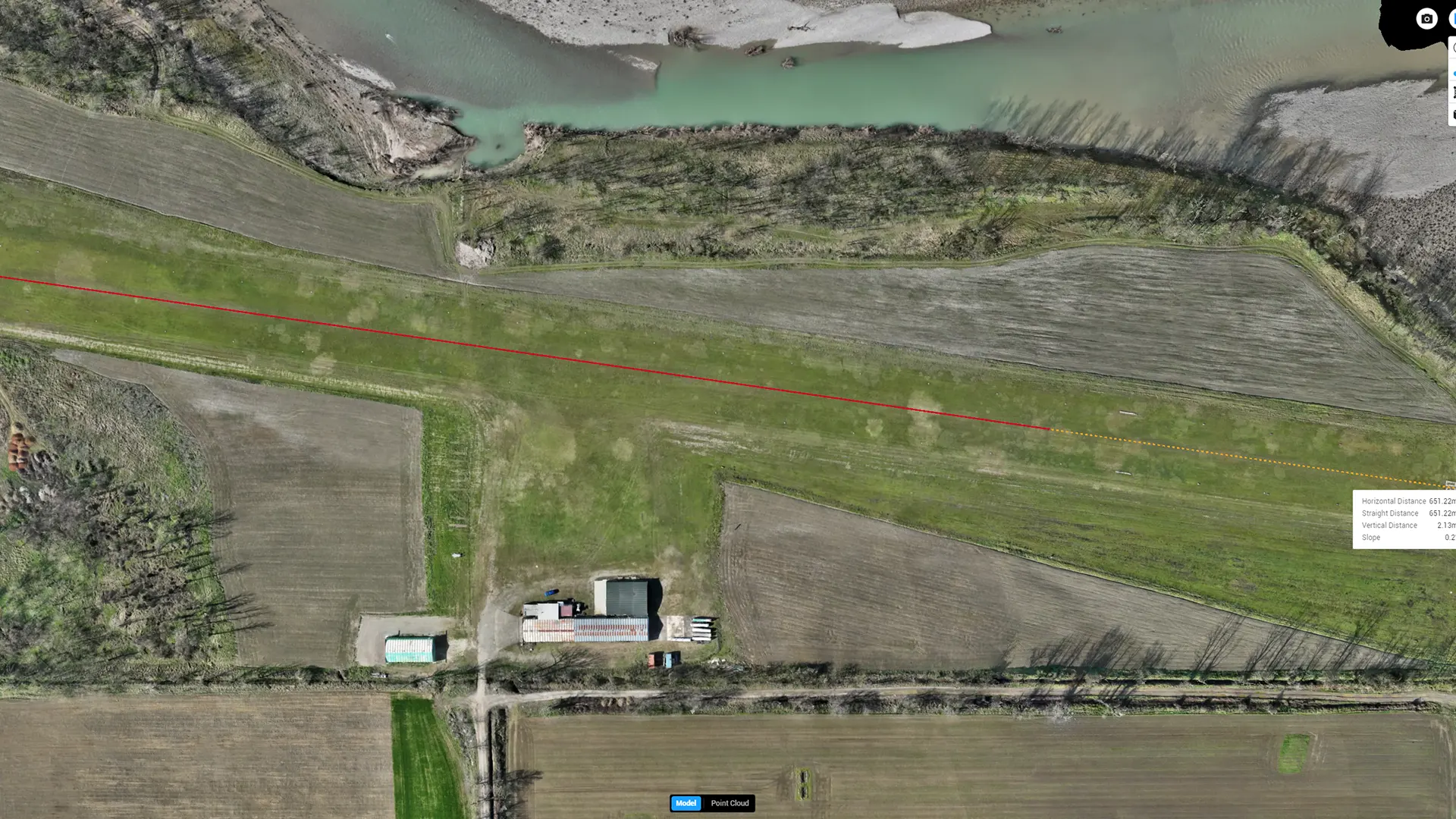
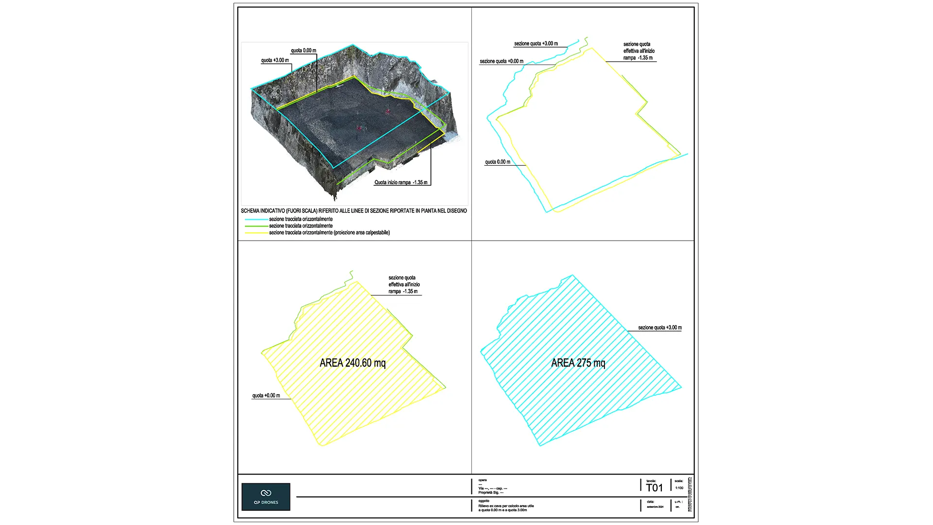
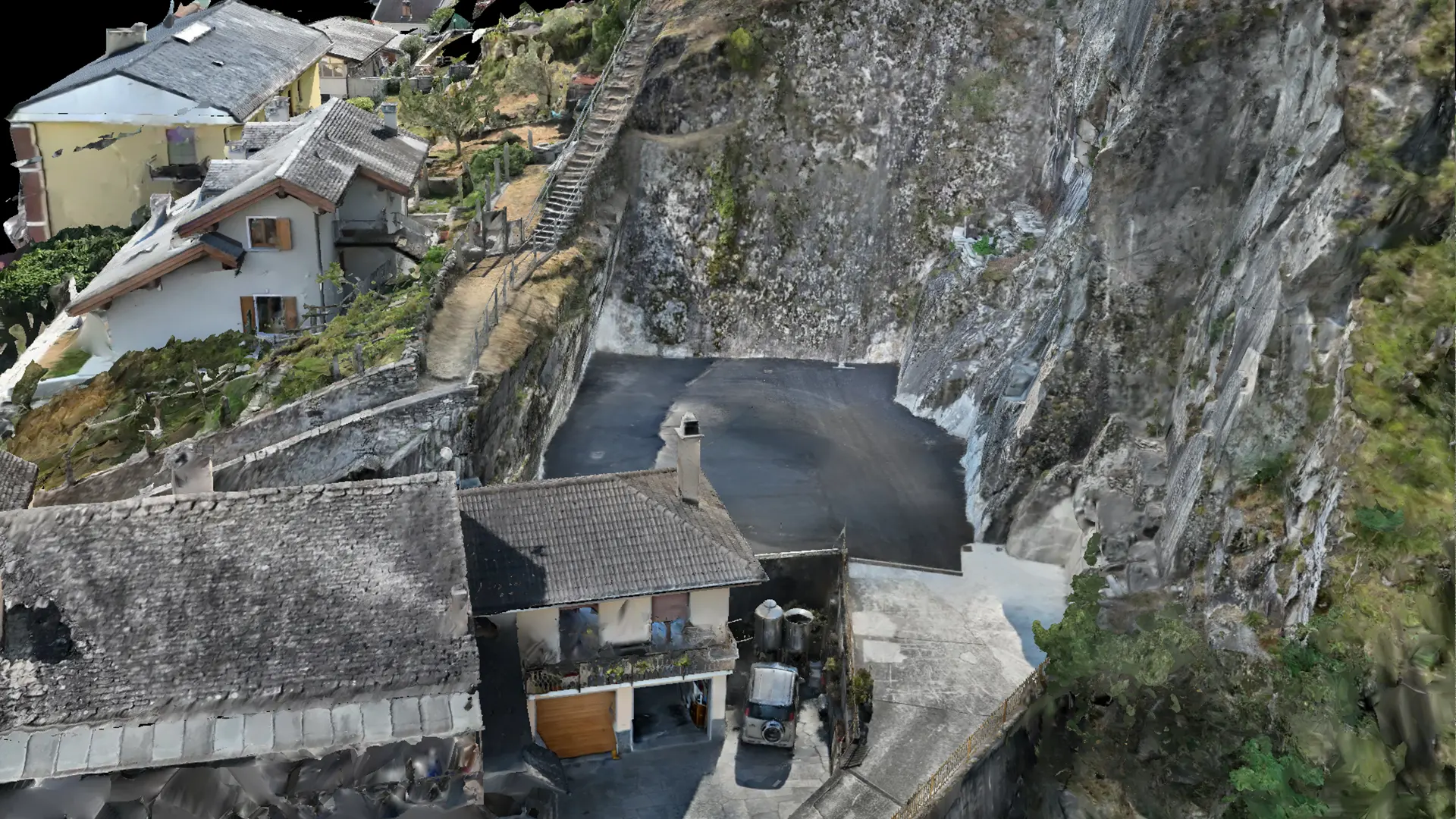
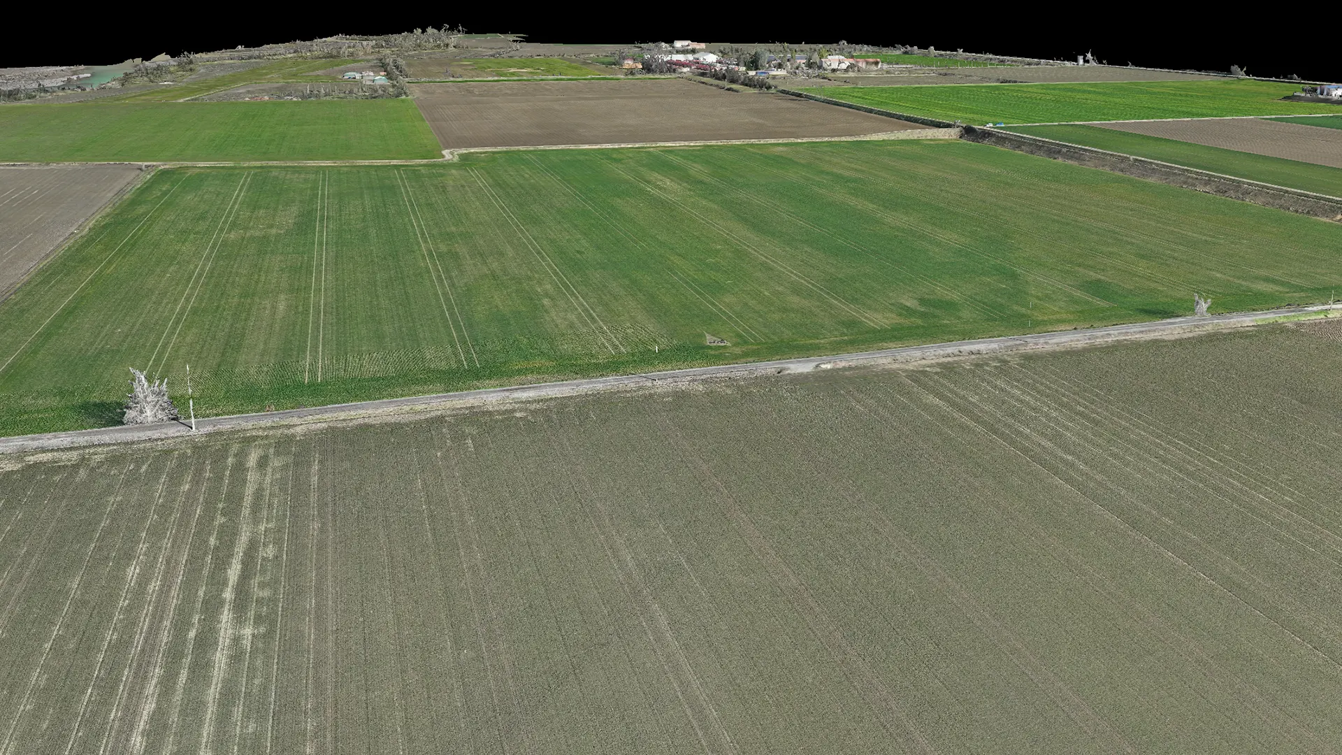
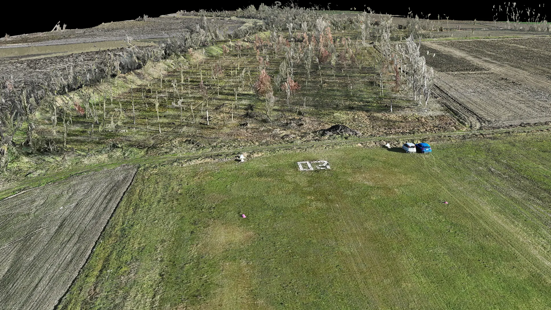
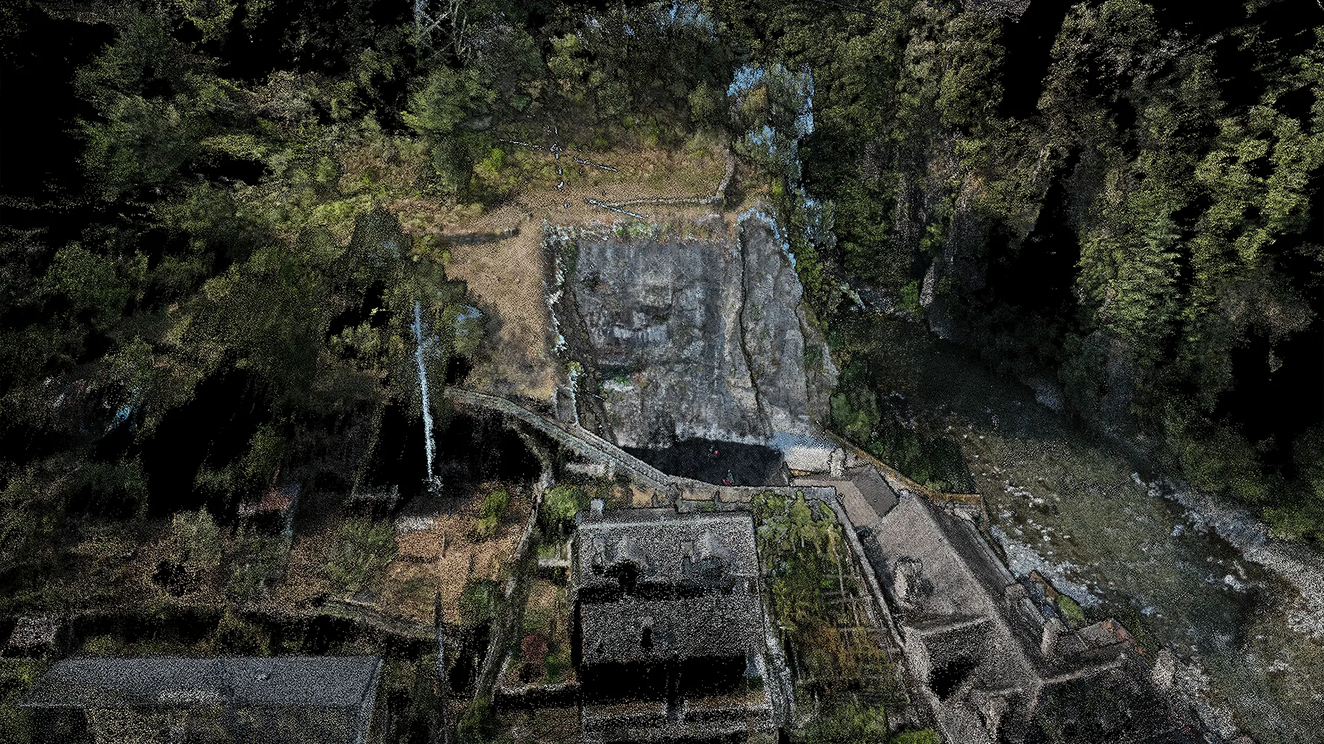
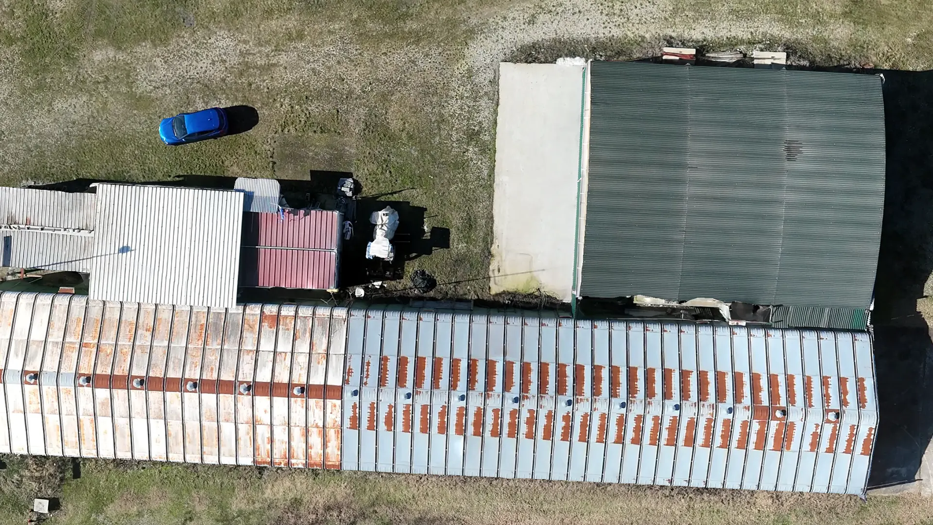
Topographic surveying measures existing terrain and represents its dimensions and features on a map.
The survey assesses existing conditions and acquires dimensional data to support the assessment, management and planning of work across the territory. Applications include environmental and pollution monitoring, flood and landslide risk assessment, protection of the environment and conservation areas, surface-water surveys, assessment of fire-affected areas, and the design of new urban and environmental projects.
WHO WE WORK WITH
PUBLIC AUTHORITIES
UNIVERSITIES
PARK AUTHORITIES
CIVIL PROTECTION
LANDFILL OPERATORS
ARCHITECTURAL PRACTICES
AGRONOMISTS
PHOTOVOLTAIC SYSTEMS
CONSTRUCTION COMPANIES
QUARRY OPERATORS
MOTORWAY OPERATORS
LOSS ADJUSTERS AND INSURERS
THE STAGES OF OUR WORK
1. Site survey
The survey uses specialist equipment:
Total station
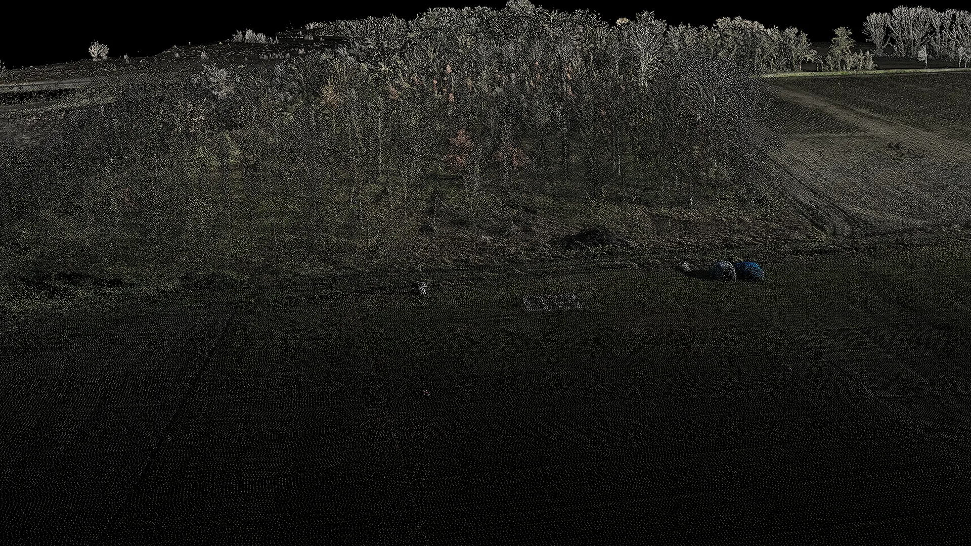
Laser scanners (static and mobile)
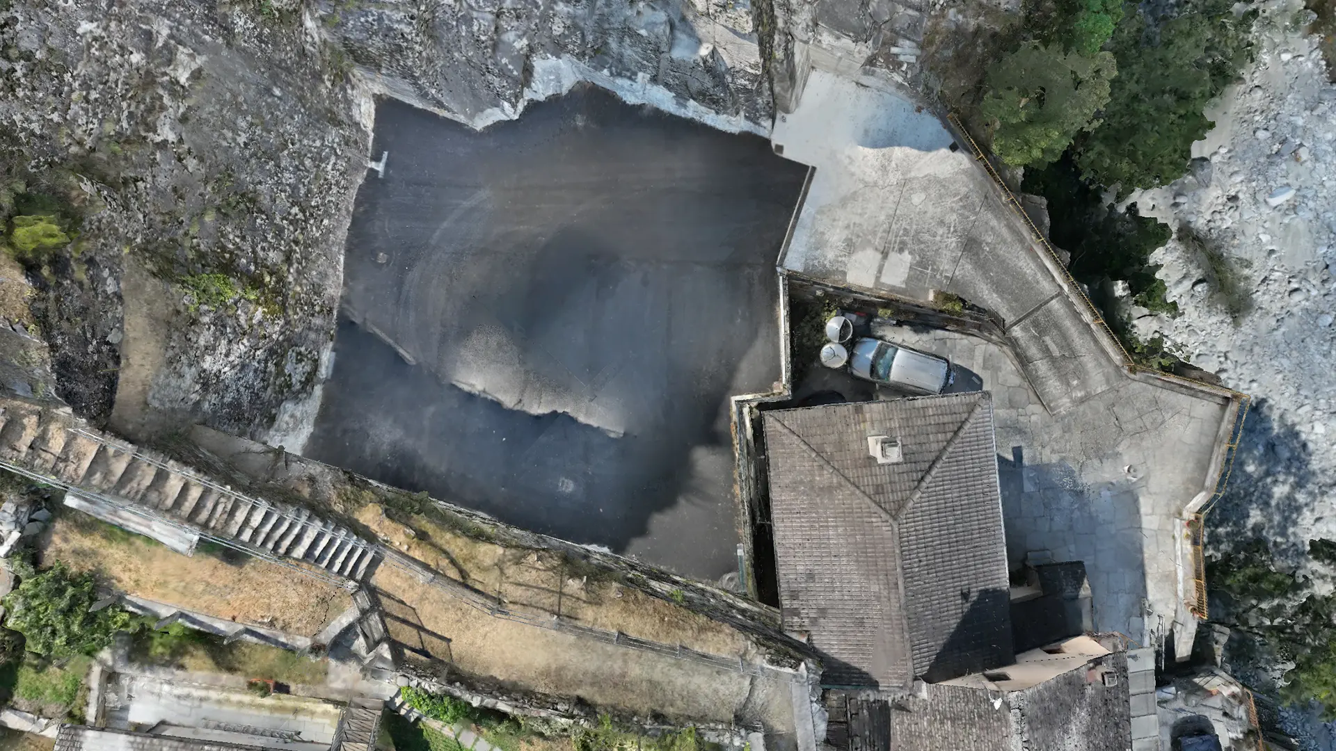
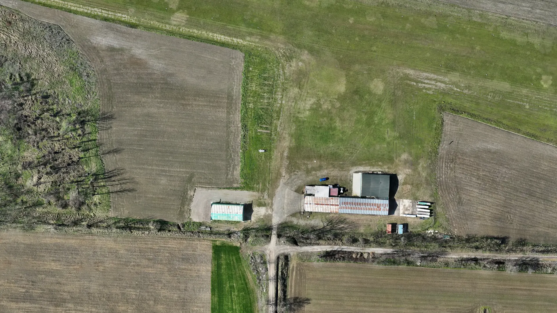
Calibrated cameras used on the ground or in the air, on aircraft or UAVs (unmanned aerial vehicles).
Calibrated cameras operating at the water surface and underwater using ROVs (remotely operated vehicles)
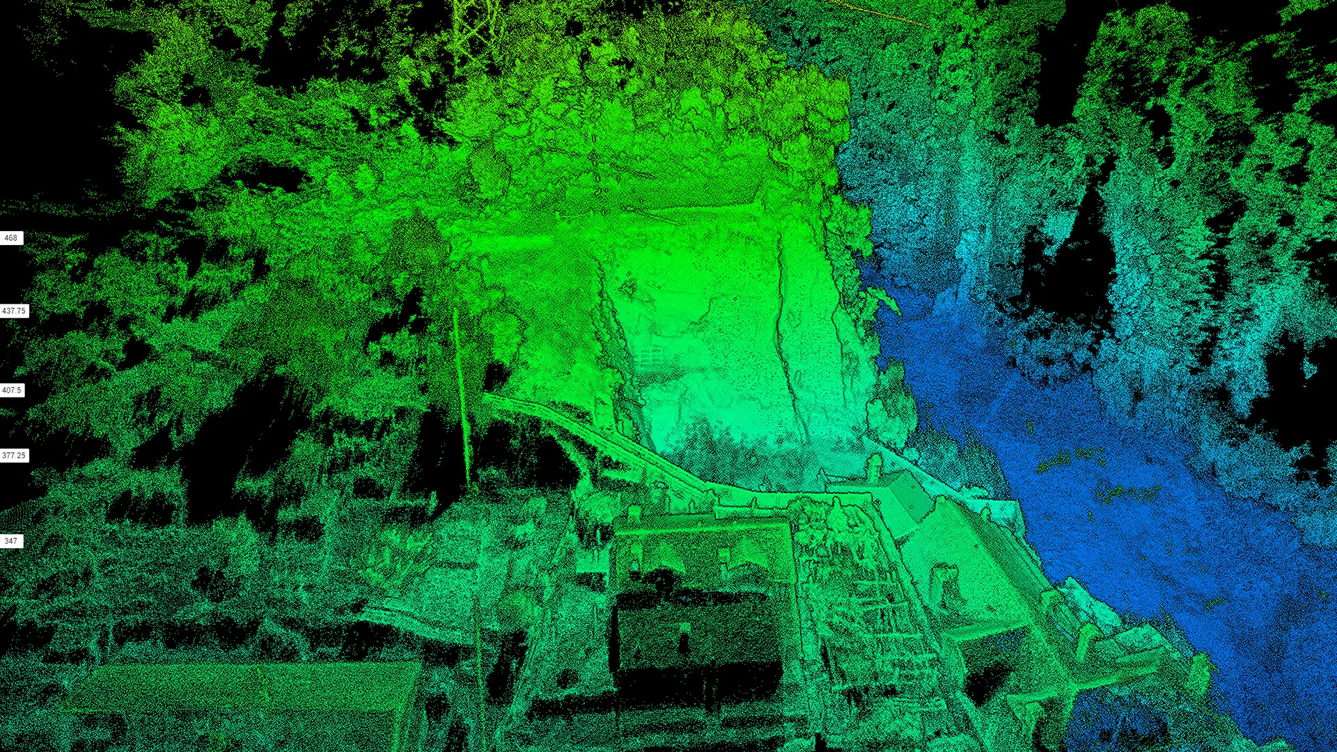
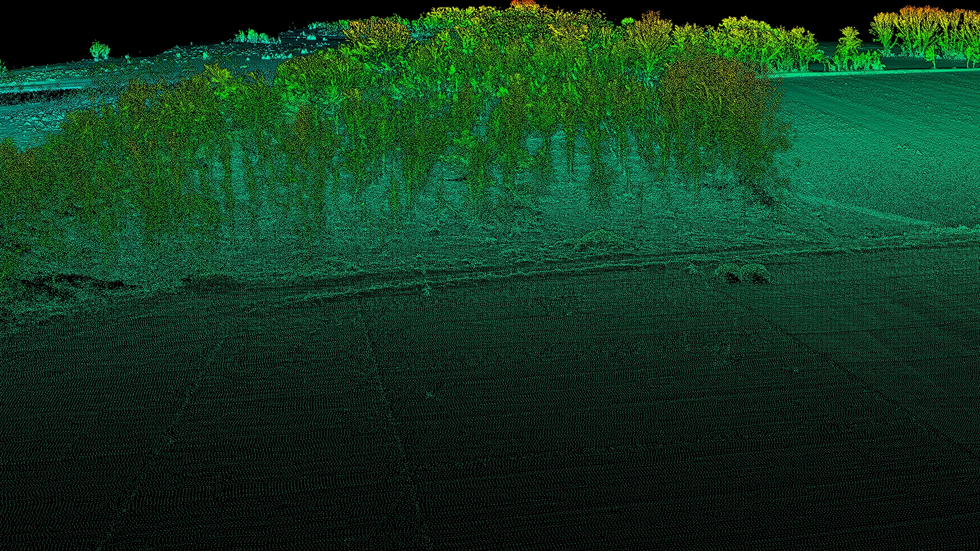
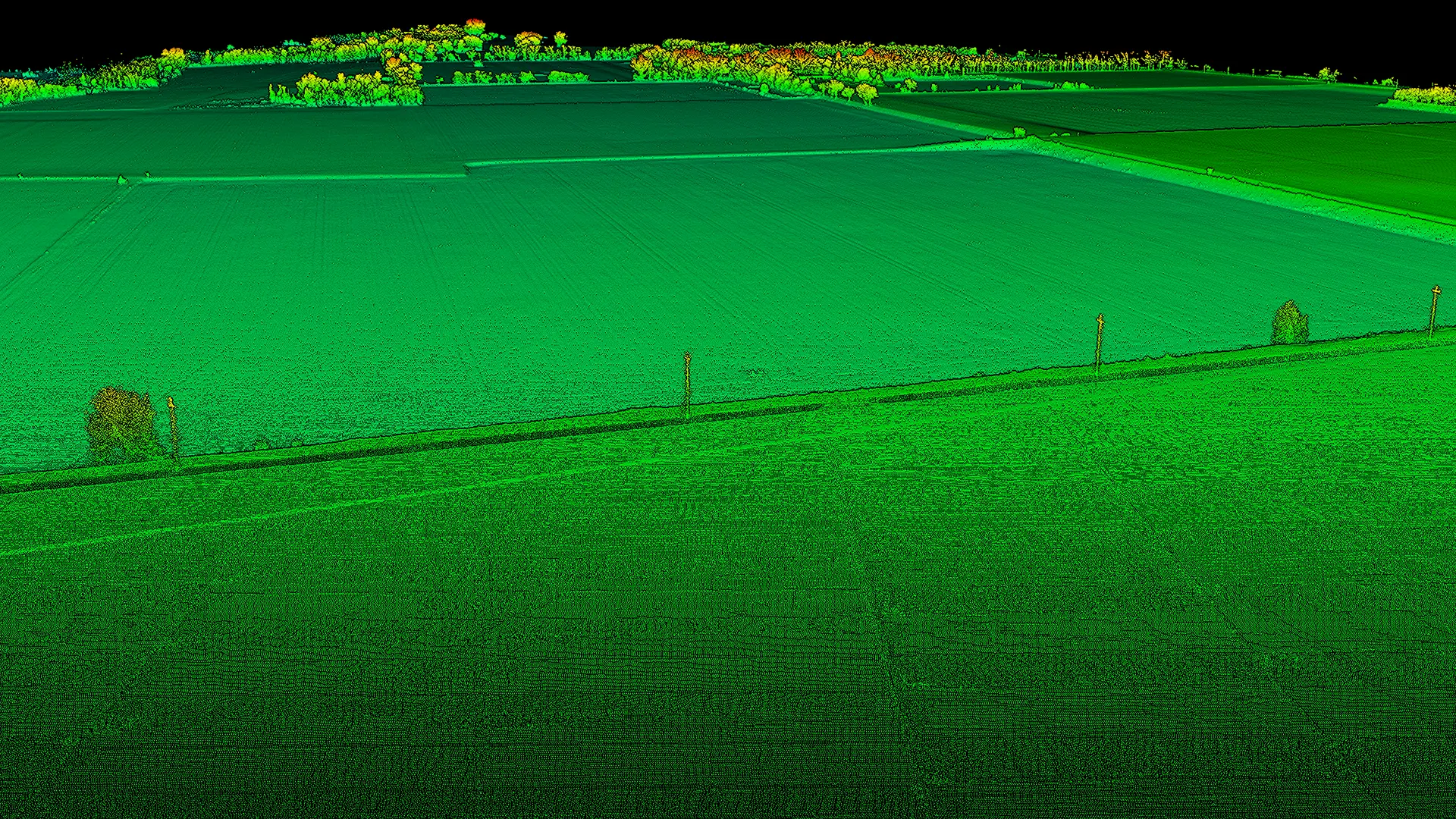
LiDAR used on the ground, in the air, and on submersibles.
2. Data analysis and survey drawings
Analysis and mapping of the surveyed areas provide georeferenced data in GIS (geographic information systems), specifically: