Architecture Construction sites Engineering Infrastructure
Built environment surveys measure and document the dimensions of existing structures through survey drawings and models.
The survey assesses the existing condition of structures and acquires dimensional data to support the assessment, management and planning of new design work, refurbishment, adaptive reuse and maintenance.
WHO WE WORK WITH
PUBLIC AUTHORITIES
UNIVERSITIES
ARCHITECTURAL PRACTICES
ENGINEERING COMPANIES
AGRONOMISTS
PHOTOVOLTAIC SYSTEMS
CONSTRUCTION COMPANIES
LOSS ADJUSTERS AND INSURERS
PRIVATE CLIENTS
EXCAVATION CONTRACTORS
THE STAGES OF OUR WORK
1. Building survey
The survey uses specialist equipment:
Total station
Laser scanners (static and mobile)
Calibrated cameras used on the ground or in the air, on aircraft or UAVs (unmanned aerial vehicles).
Calibrated cameras operating at the water surface and underwater using ROVs (remotely operated vehicles)
LiDAR used on the ground, in the air and on submersibles.
2. Data analysis and survey drawings
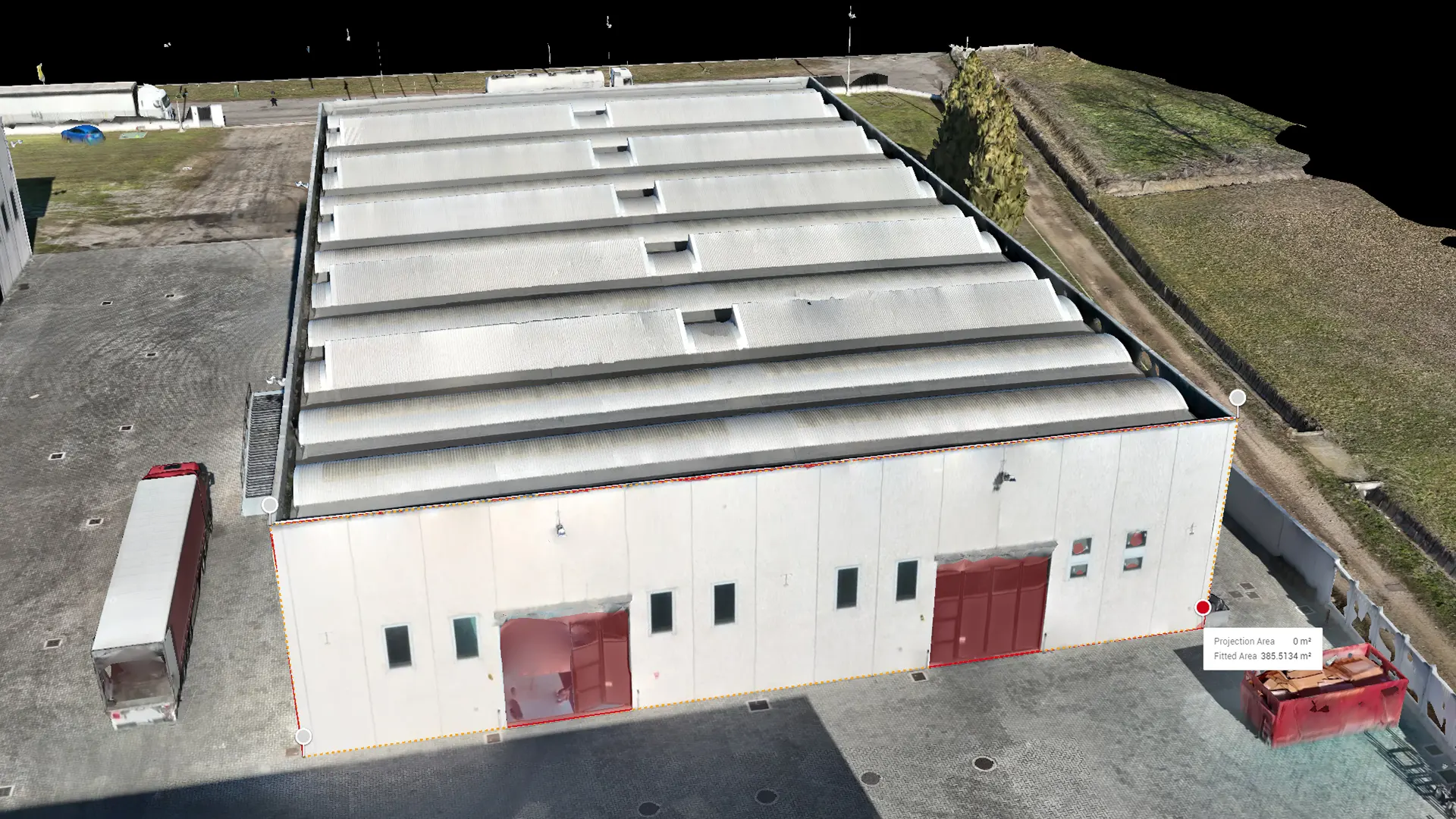
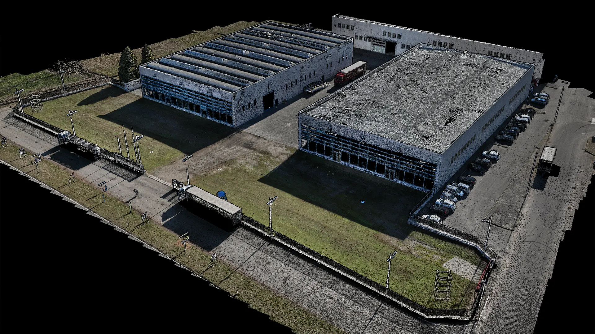
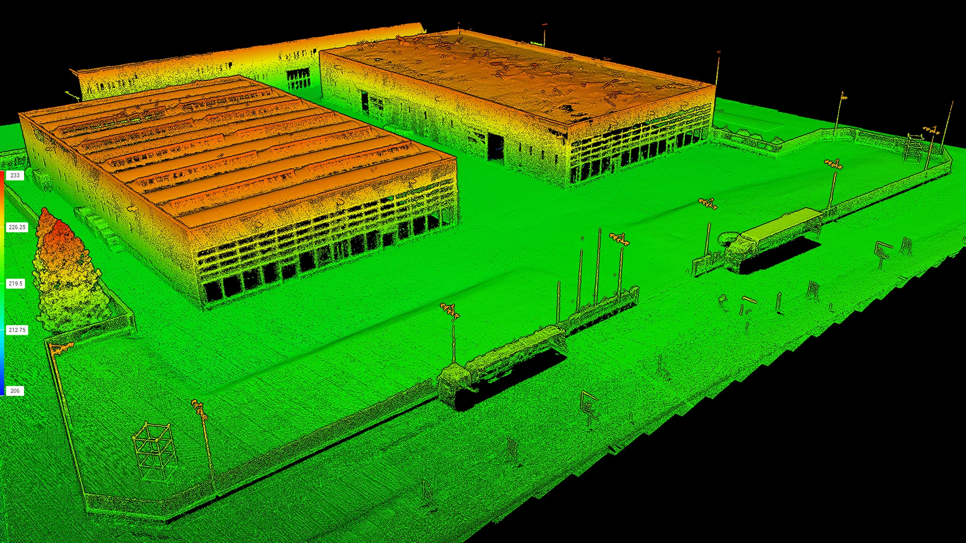
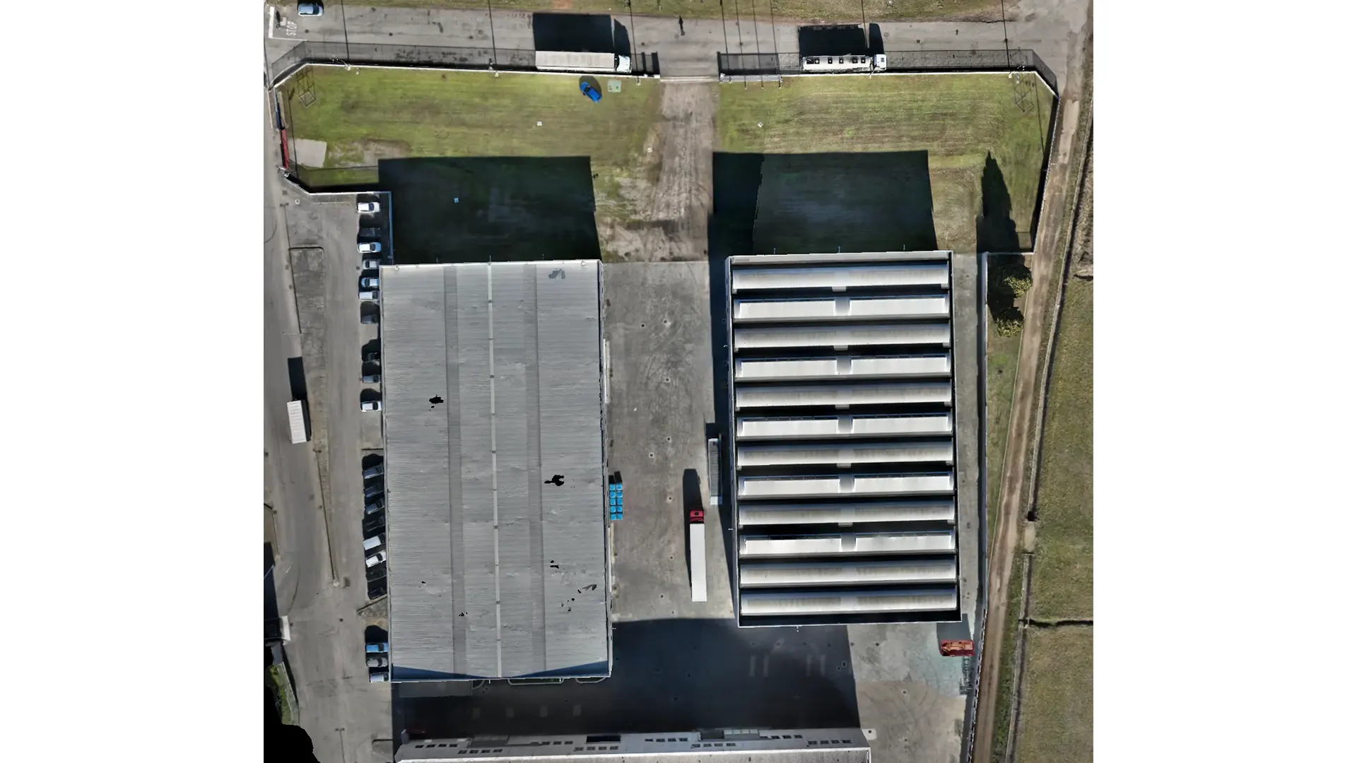
Analysis of the survey data provides measurements, drawings and models of the built environment, specifically:
Point cloud
Orthophotos and photogrammetric elevation drawings