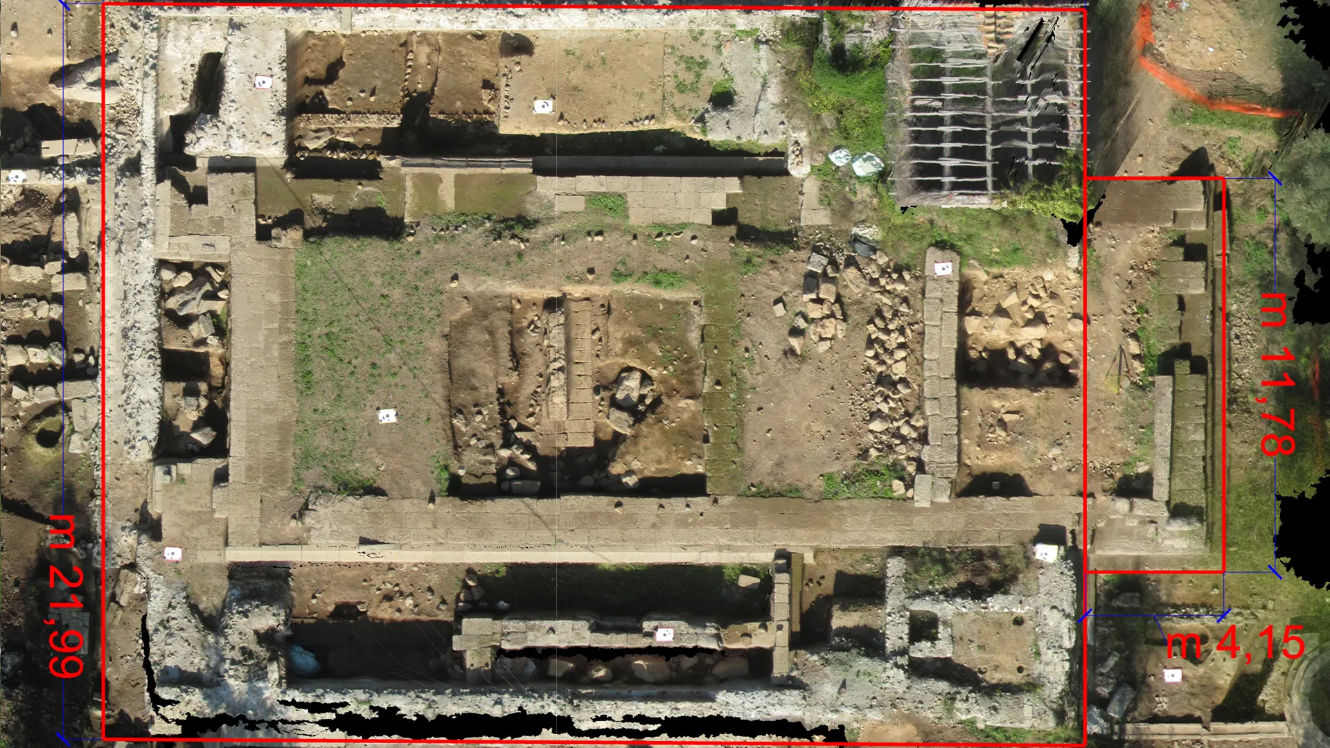
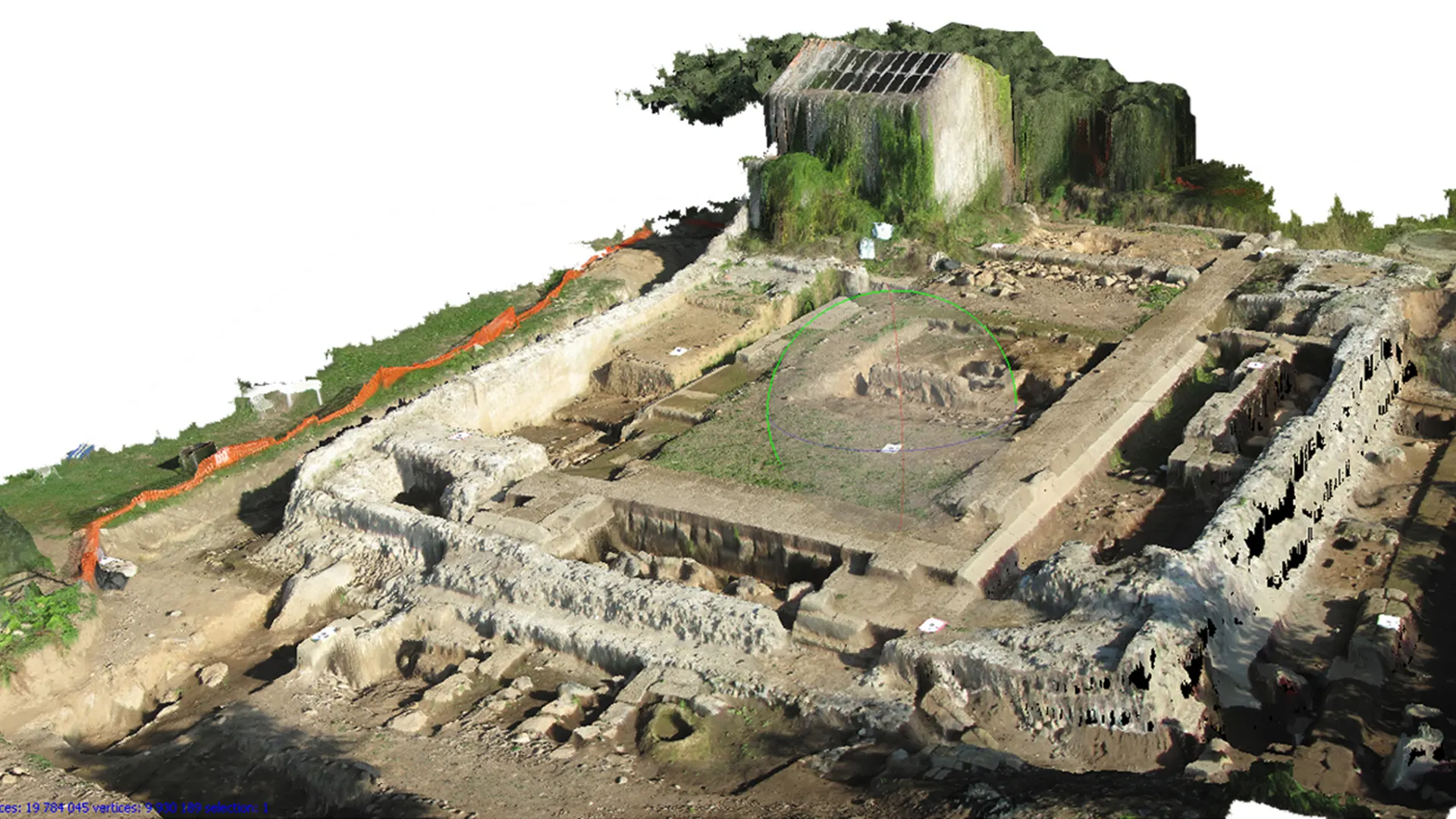
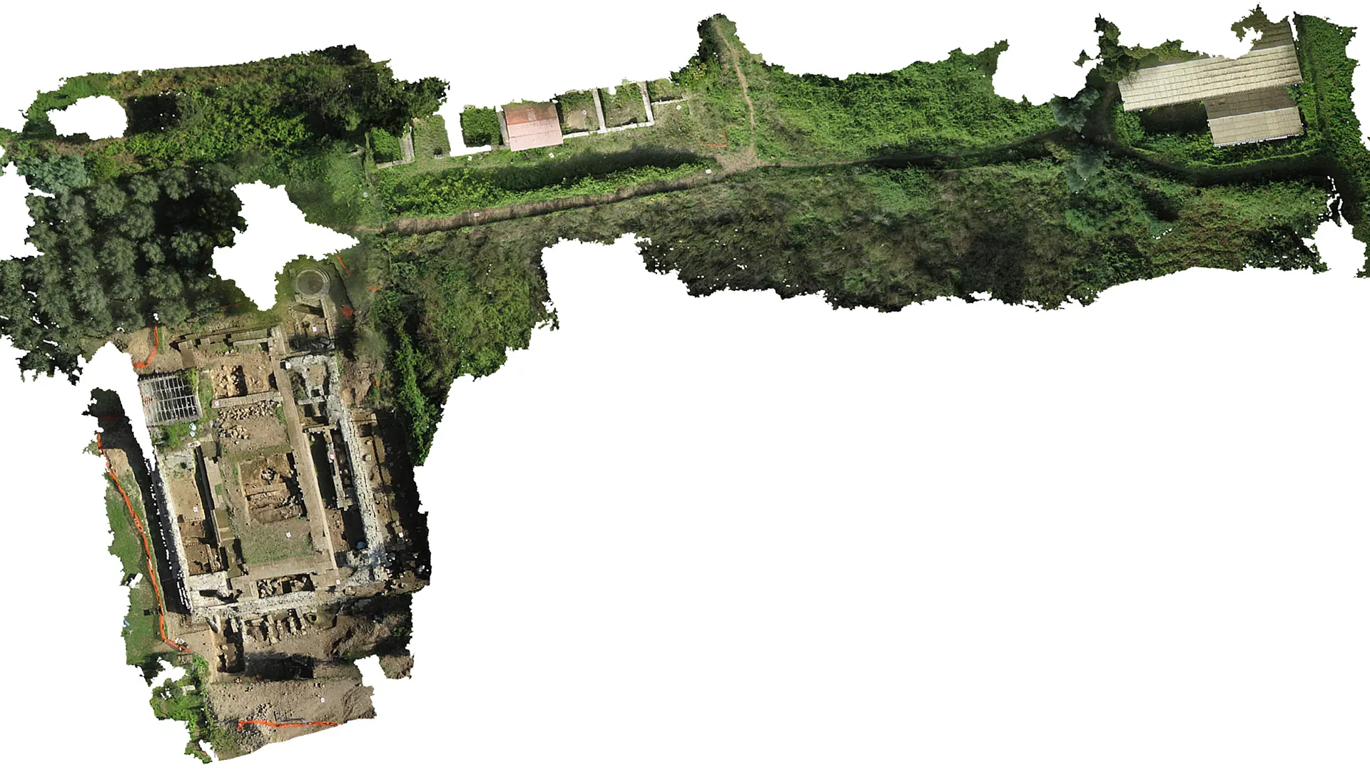
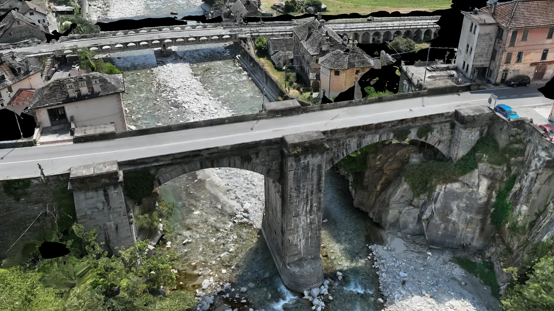
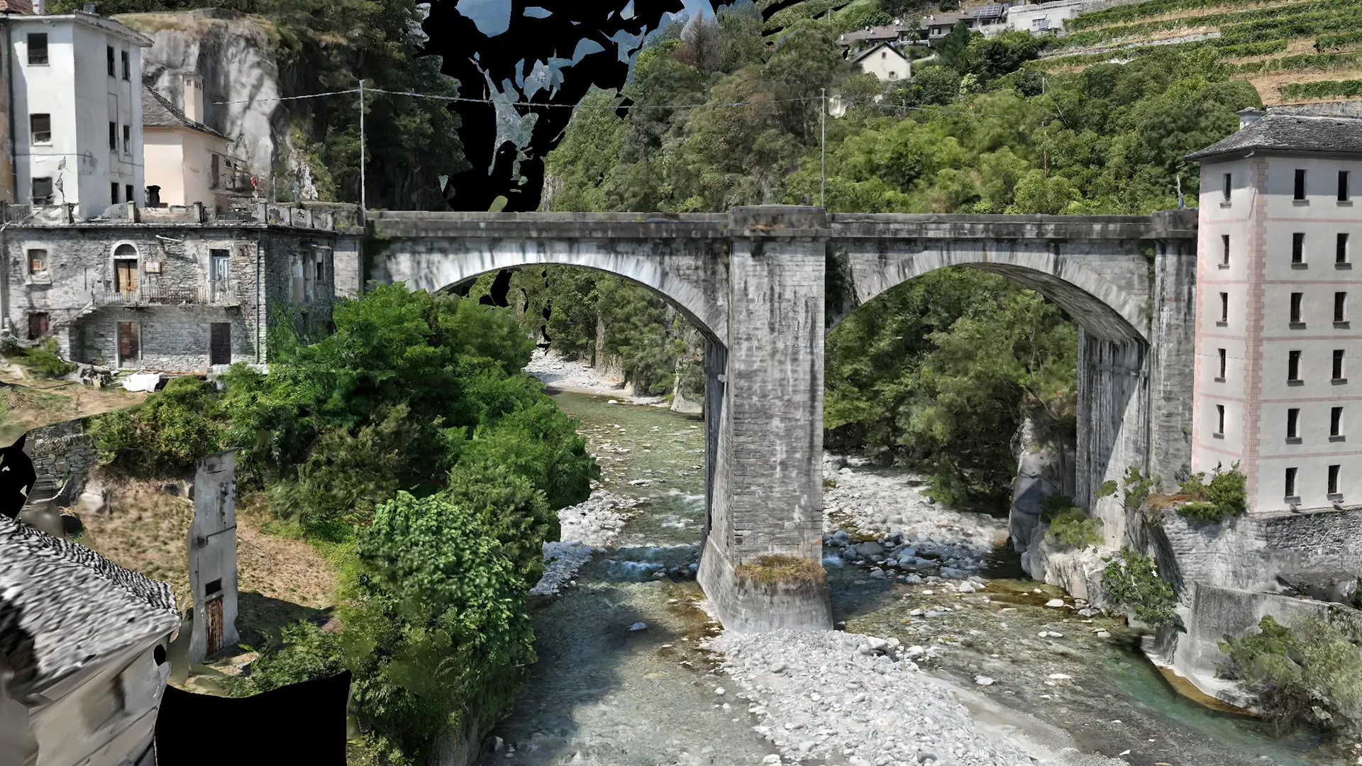
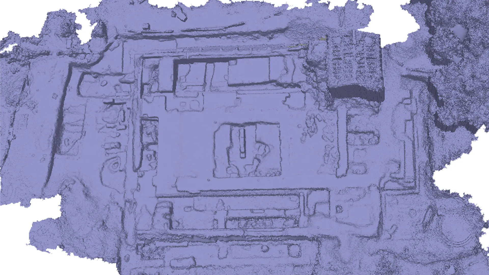
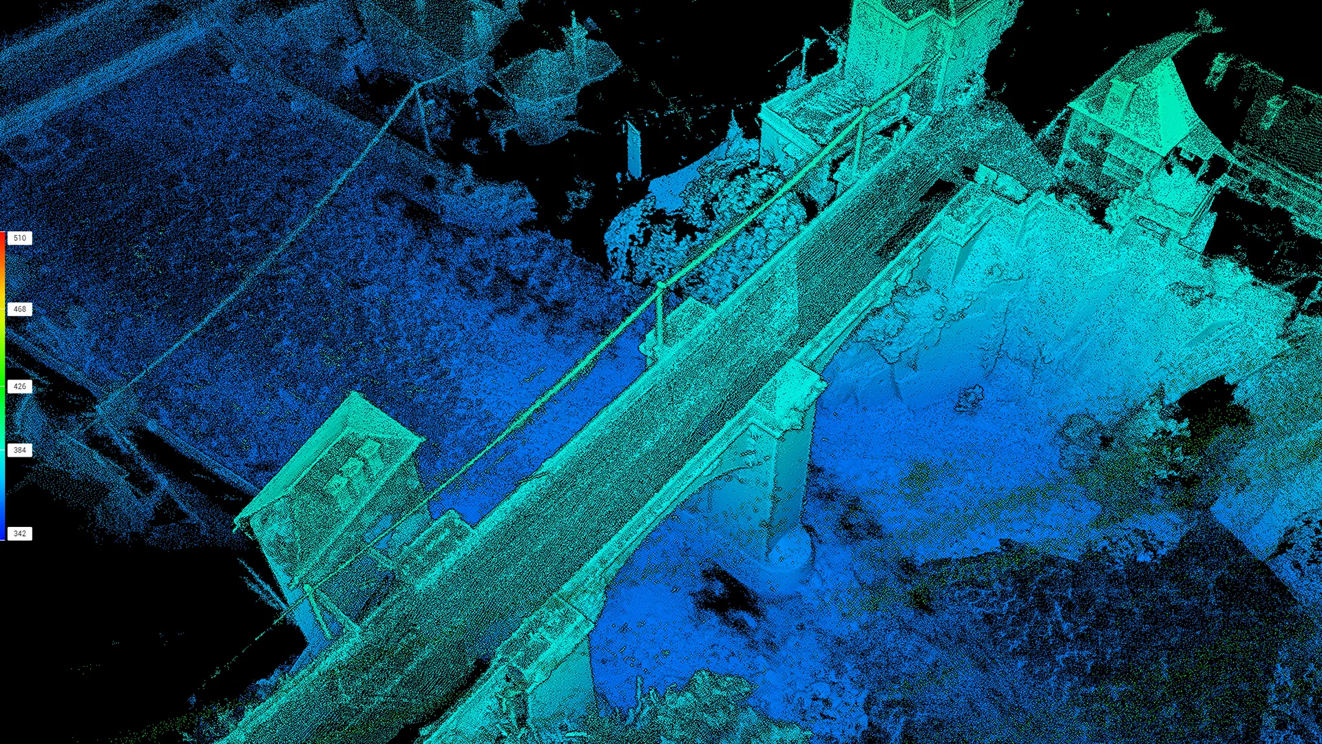
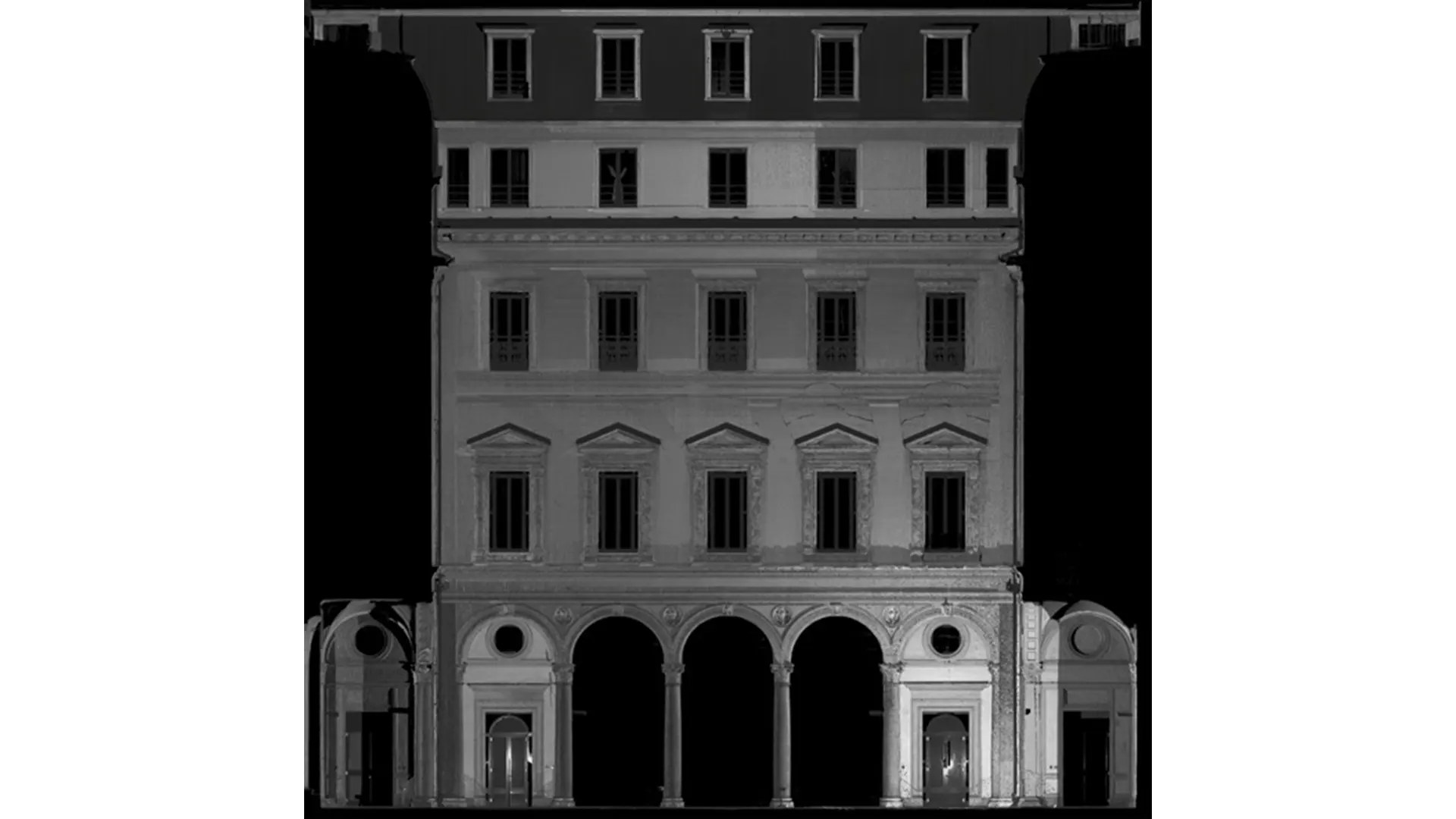
Archaeological surveys measure and document archaeological assets through drawings and models.
The survey assesses the existing condition of structures — buildings and excavation sites — and historic objects such as statues, artefacts and paintings, collecting data on dimensions, materials and deterioration. These data form the basis for analysis, research, management and planning of restoration or integrated design work on the surveyed asset.
An important part of the analysis also helps locate assets, primarily architectural remains, that have not yet been clearly identified on the ground, such as settlements buried underground or concealed by vegetation.
WHO WE WORK WITH
PUBLIC AUTHORITIES
UNIVERSITIES
ARCHAEOLOGISTS
PARK AUTHORITIES
AGRONOMISTS
MUSEUMS
CONSERVATION WORKSHOPS
ARCHITECTURAL PRACTICES
ENGINEERING COMPANIES
CONSTRUCTION COMPANIES
EXCAVATION CONTRACTORS
THE STAGES OF OUR WORK
1. Existing-condition survey
The survey uses specialist equipment:
Total station
Laser scanners (static and mobile)
Calibrated cameras used on the ground or in the air, on aircraft or UAVs (unmanned aerial vehicles).
Calibrated cameras operating at the water surface and underwater using ROVs (remotely operated vehicles)
LiDAR used on the ground, in the air, and on submersibles.
2. Data analysis and survey drawings
Analysis of the survey data provides measurements, drawings and models of the built environment, specifically: