Agricultural and environmental surveys are now guided and supported by precision agriculture.
Precision agriculture uses modern methods to analyse crop health and vegetation condition, helping optimise management at different levels of agricultural production. It also supports the management of environmental resources, including those not directly linked to commercial production.
Starting with a detailed assessment of existing conditions, this approach helps identify the most appropriate action and make more efficient, precise and economical use of staff and operational resources. Applications include planning new planting, optimising fertiliser use, scheduling interventions and managing water consumption. It also enables a more accurate economic assessment of the expected output, supporting the final product’s competitiveness in the market.
WHO WE WORK WITH
PUBLIC AUTHORITIES
UNIVERSITIES
PARK AUTHORITIES
AGRICULTURAL COOPERATIVES
AGRONOMISTS
FARMS
LANDFILL OPERATORS
LOSS ADJUSTERS AND INSURERS
A CLOSER LOOK
Which action is right for your site?
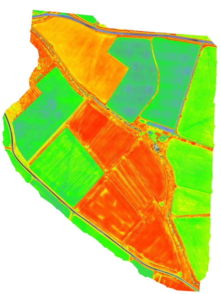
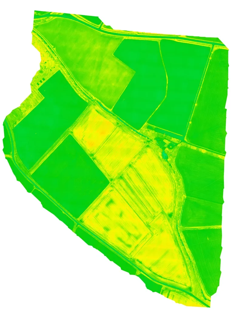
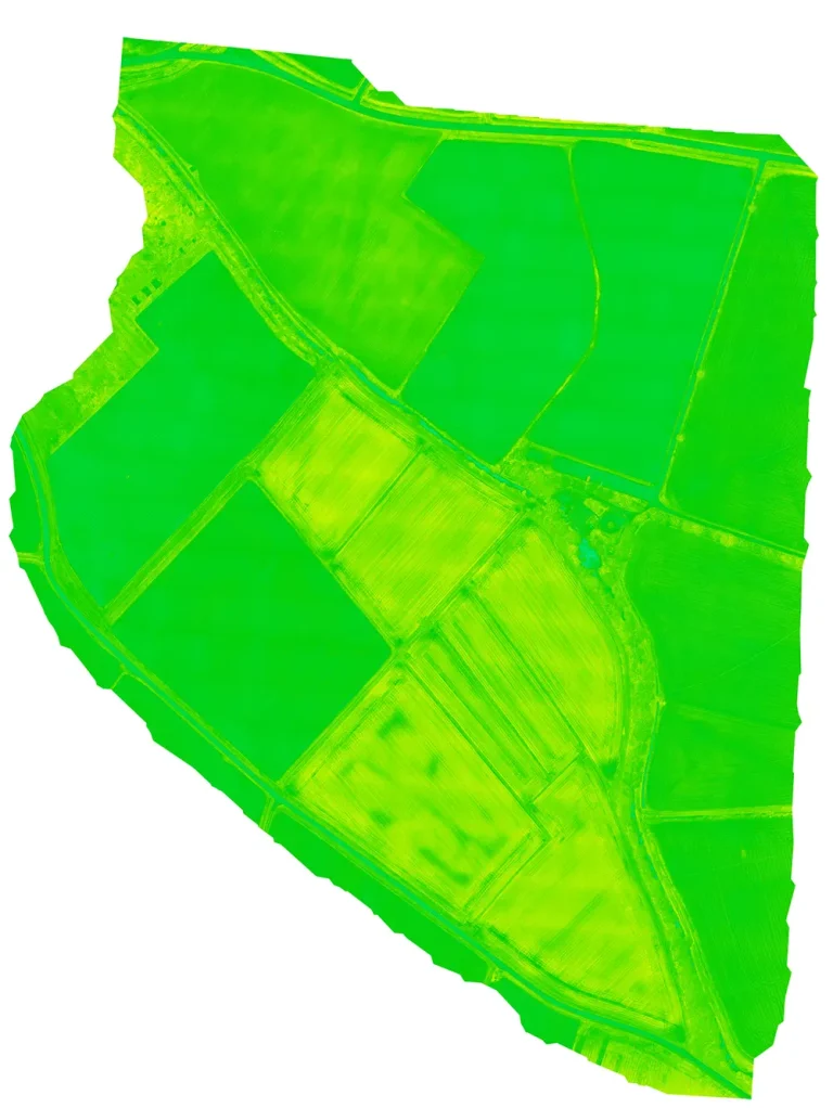
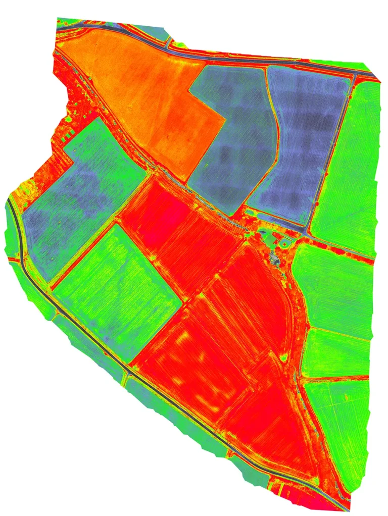
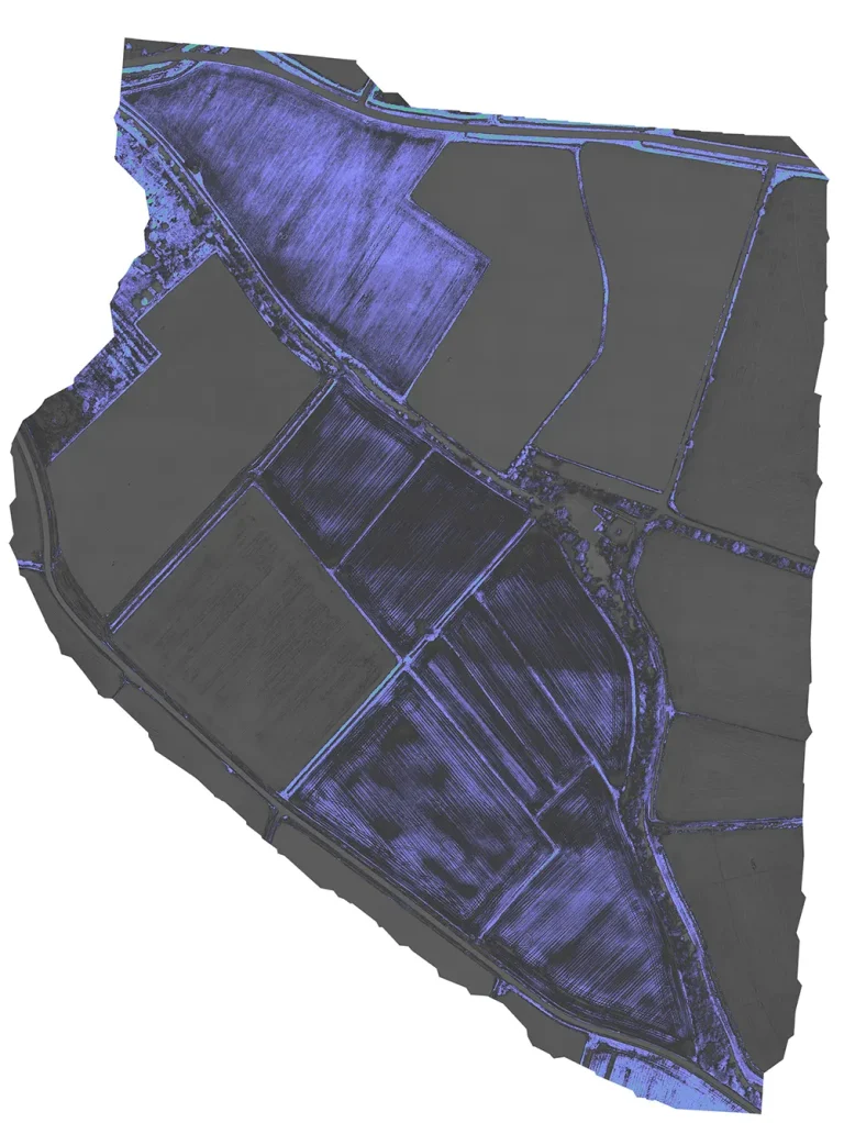
We help our clients acquire and analyse vegetation index data to plan the most appropriate interventions in agricultural, woodland and other vegetated areas.
Our surveys and data processing provide the following indices:
Starting with a detailed assessment of existing conditions, this approach helps identify the most appropriate action and make more efficient, precise and economical use of staff and operational resources. Applications include planning new planting, optimising fertiliser use, scheduling interventions and managing water consumption. It also enables a more accurate economic assessment of the expected output, supporting the final product’s competitiveness in the market.
The stages of our work
The process comprises the following three stages:
SURVEY
ANALYSIS
INTERVENTION
The survey stage can use satellite imagery or, for greater precision and site-specific detail, aerial images acquired at lower altitudes. These can be captured from aircraft or, at lower cost, using UAVs (unmanned aerial vehicles).
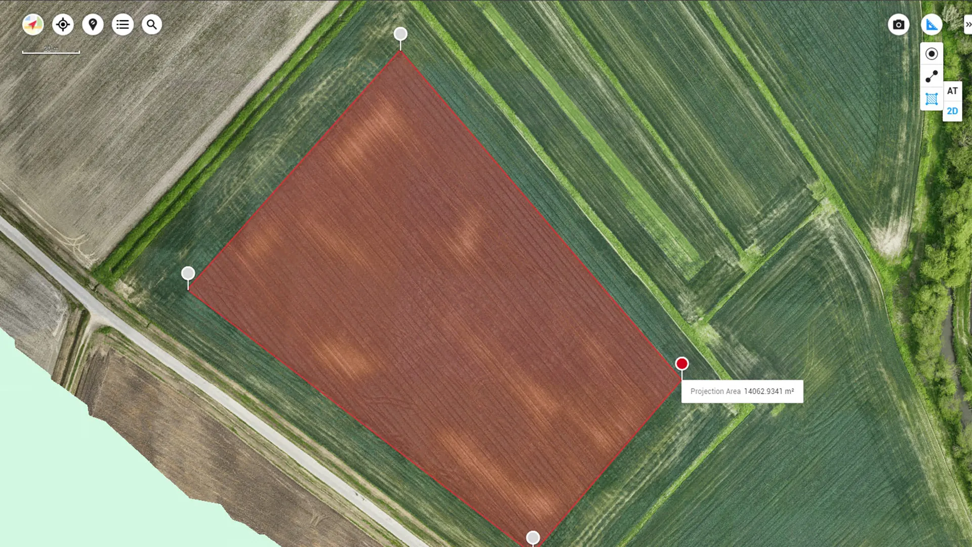
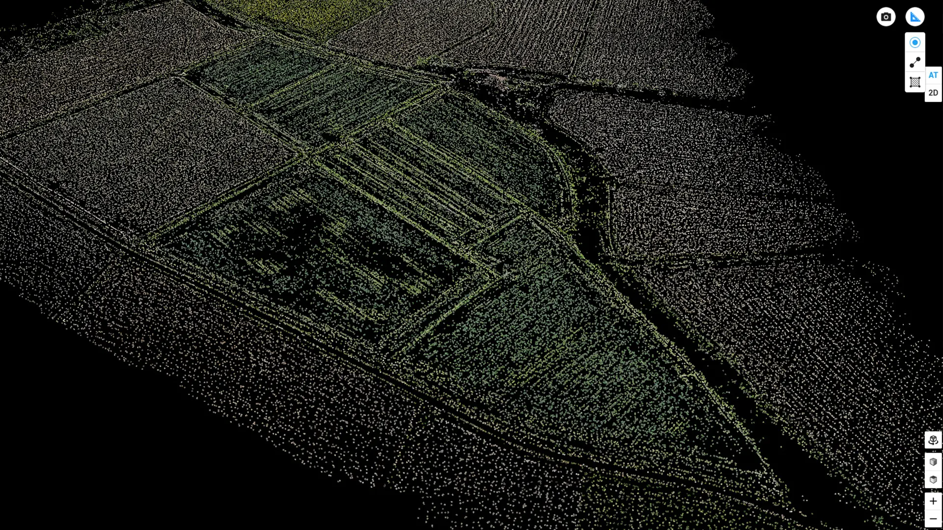
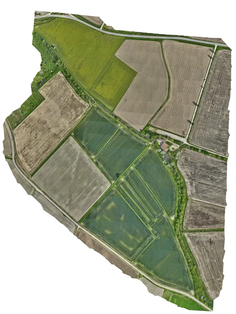
The analysis stage involves processing the survey data — near-infrared images of the areas concerned — and producing georeferenced GIS deliverables such as point clouds, orthophotos and 2D and 3D models containing the vegetation indices listed above. The client and an agronomist then use this analysis to plan the intervention.
The intervention stage is carried out on site by the clients — agricultural or forestry operators — using ground-based methods or aerial operations with UAVs equipped for the task.